Grand Canyon
Arizona, USA · South Rim
The place
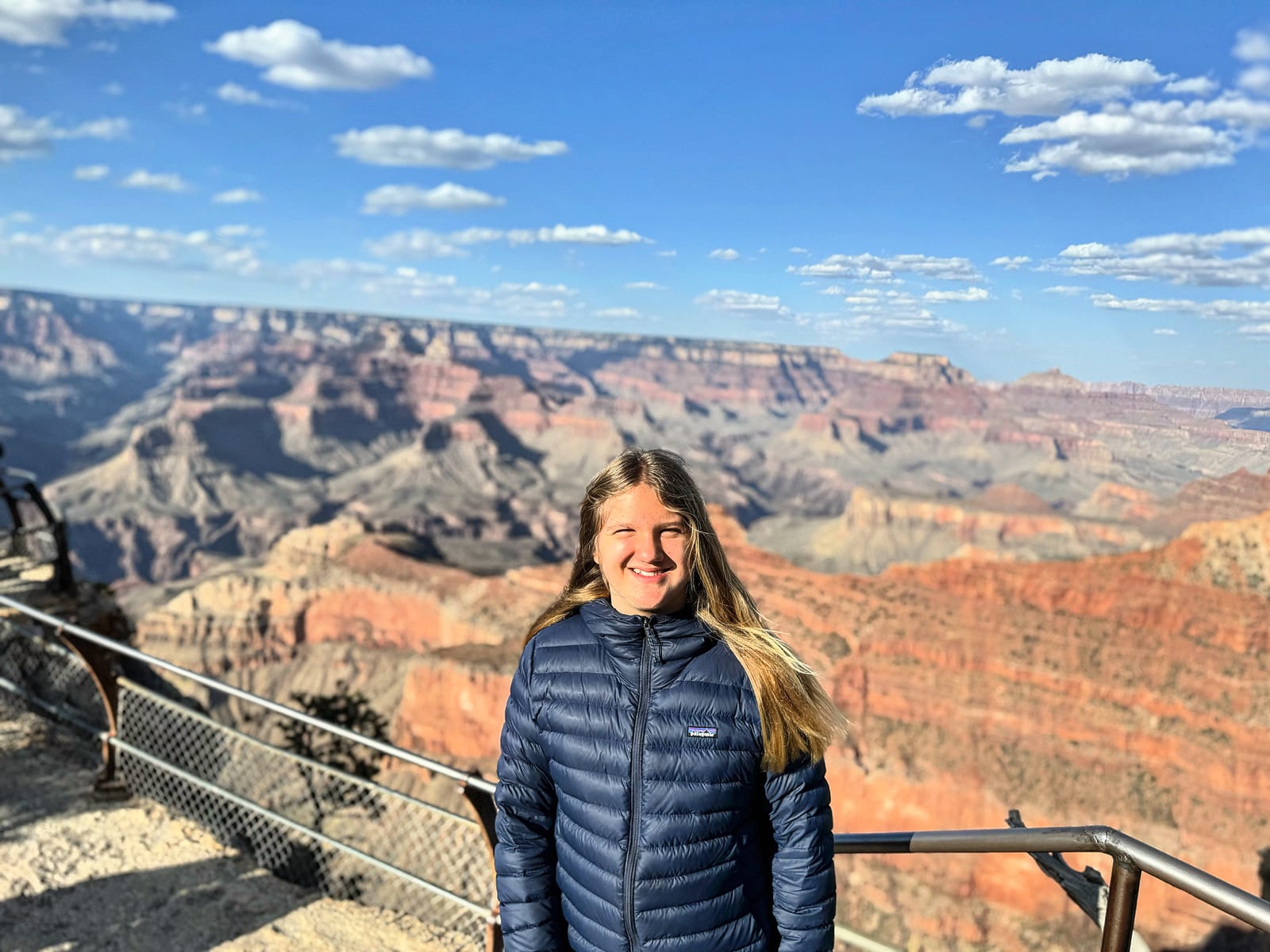
The Grand Canyon is a mile deep, up to 18 miles across, and 277 river-miles long — carved by the Colorado River over the last five to six million years through rock nearly two billion years old. No photograph prepares you for the scale; your sense of distance simply gives out.
Ancestral Puebloans lived in and around the canyon for millennia, and eleven tribes still hold it as ancestral land — the Havasupai live within it to this day. It became a national park in 1919 and now draws close to five million visitors a year, almost all of them to the more accessible South Rim.
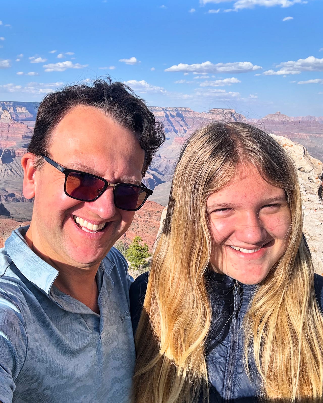
We took the South Rim: Mather Point at first light, the rim trail, and a stretch down South Kaibab where the whole thing opens up beneath you.
Places I visited
History & facts for each spot — with a “then & now” archival photo where one exists.
 1
1Mather Point
The first overlook most visitors reach, right by the visitor center. Named for Stephen Mather, the first director of the National Park Service, who fought to make this a park in 1919.
Read more on Wikipedia → 2
2Bright Angel Trail
The classic corridor trail down toward the Colorado River, following a route used by the Havasupai for centuries. Steep switchbacks, mule trains, and a cottonwood oasis at Indian Garden.
Read more on Wikipedia →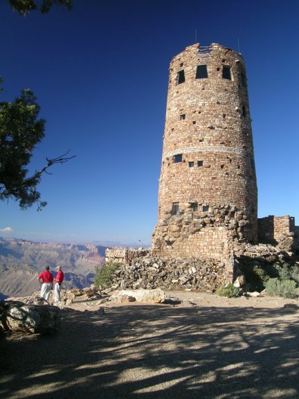 3
3Desert View Watchtower
A 70-ft stone tower at the canyon's east end, designed by architect Mary Colter in 1932 and painted inside by Hopi artist Fred Kabotie. The highest point on the South Rim.
Read more on Wikipedia →- 4
Yavapai Point & Geology Museum
An overlook built specifically for its cross-section view of the canyon's rock layers — nearly two billion years of Earth's history stacked in the walls.
On the map
Numbered pins are the specific spots above — click any one for its story.
My photos